California Agricultural Pesticide Mapping Tool
-
Focus Areas
Data, Technology & Innovation, Environmental Health -
Programs
Tracking California

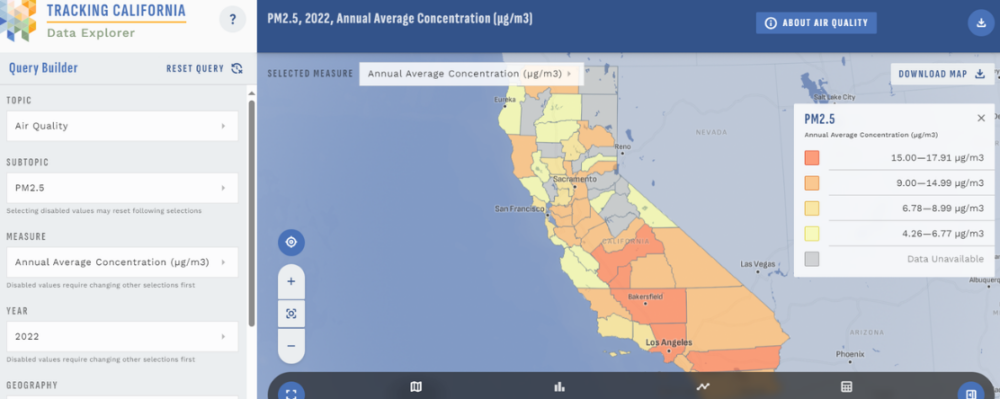
Where are agricultural pesticides applied within California? How many are used near a specific location? Has pesticide usage increased or decreased over time? These are questions that the agricultural pesticide mapping tool from PHI’s Tracking California (formerly known as the California Environmental Health Tracking Program) can help answer, now with an updated interface and additional features.
Get started todayExplore updates to the agricultural pesticide mapping tool. You can:
- View the top 10 agricultural pesticides used
- For different geographies (1-mile-square section, 6-mile-square township, county, state)
- By different pesticide categories
- For different years, from 1991 to 2018
- Use the tool in Spanish
- Examine time trends
With this tool, users can quickly and easily explore data for agricultural pesticide applications that occurred from 1991 through 2016 in California. The data come from the California Department of Pesticide Regulation’s Pesticide Use Reporting System. The tool enables users to view agricultural pesticide application data at different geographies (state, county, square-mile) and also provides information about the amounts used over time within those geographies. Users can further customize their maps to view use by specific pesticide, pesticide category (with fumigants and neonicotinoids now available as options), crop, and year.
The recent improvements to the Pesticide Mapping Tool—which increase the accessibility and utility of agricultural pesticide use data—were made in direct response to suggestions by users. Browse the new features and let us know if you have additional feedback.
Tracking California, formerly known as the California Environmental Health Tracking Program (CEHTP) is a collaboration of the Public Health Institute and the California Department of Public Health. CEHTP is part of a national initiative coordinated by the National Environmental Public Health Tracking Program.
Originally published by Tracking California
Work With Us
You change the world. We do the rest. Explore fiscal sponsorship at PHI.
Support Us
Together, we can accelerate our response to public health’s most critical issues.
Find Employment
Begin your career at the Public Health Institute.


