Email: media@phi.org
COVID-19 Healthy Places Index Resource Map offers policy makers and others neighborhood-level data for interventions to address health inequities
Los Angeles, CA – Right now, state and local leaders, government agencies, school districts, advocates, community groups, and others are gathering resources to find and support those who are most impacted by the COVID-19 crisis. Public health experts have long known that structural racism, poverty, and other socioeconomic and environmental factors result in higher health risks for some communities. Evidence shows that the COVID-19 crisis is exacerbating existing health disparities, with low-income individuals and people of color facing disproportionate rates of exposure, transmission, and death. These same communities also face related risks of food and housing insecurity, risks to employment and education, and other impacts that will worsen as the crisis continues.
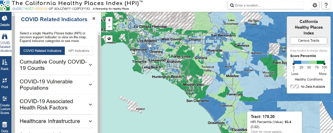
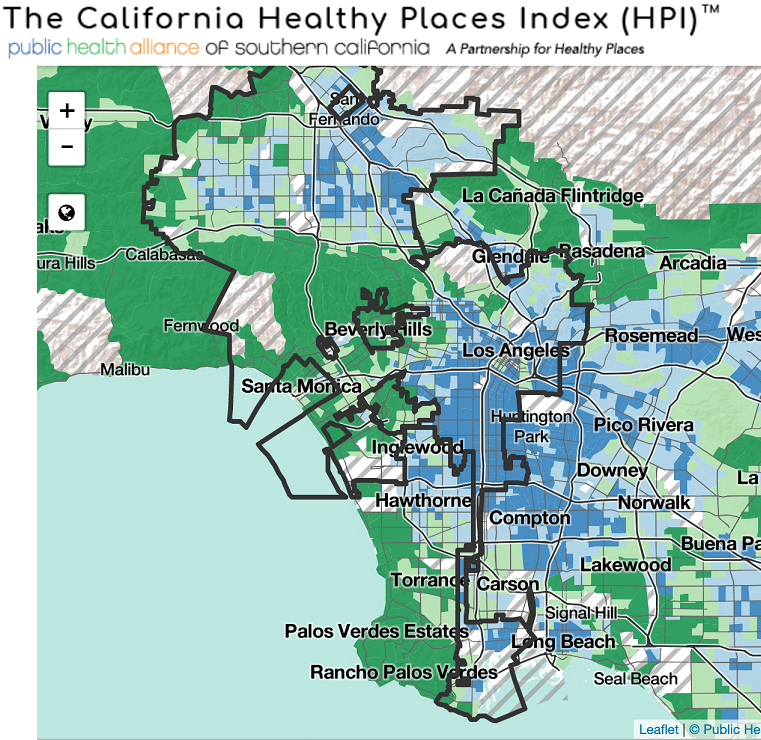
To help target needed resources and interventions, the Public Health Alliance of Southern California, a program of the Public Health Institute, has created an interactive COVID-19 Healthy Places Index Resource Map for the state of California. The map includes COVID-19 death rates by race/ethnicity, where reported, to better target critical outreach, services and resource allocations. It also includes census-tract level data that provides information on where communities may have specific vulnerabilities or needs related to COVID-19. For example:
According to Alliance Executive Director Dr. Tracy Delaney, “Long before the current crisis, systemic inequities have meant disproportionate health risks for low-income communities and communities of color. The COVID-19 pandemic is making it worse. Now policy makers and state leaders can use this powerful tool to effectively target their COVID-19 resources to reach those who are most in need, neighborhood by neighborhood.”
The COVID-19 HPI Resource Map can be used by advocates, community groups, government agencies and decision makers to help identify those areas that need the most support through the crisis. Using the “COVID-19 Vulnerable Populations” tab, policy makers can map indicators such as seniors living alone, people who are disabled, communities in poverty, linguistically isolated seniors, outdoor workers, and more. Using the rank function, they can then identify the census tracts with the highest proportion of these populations in need. Ultimately the tool supports data-driven analyses for prioritizing public and private investments, resource allocations, program planning and service delivery for individuals and communities who are most vulnerable to economic and health threats from COVID-19.
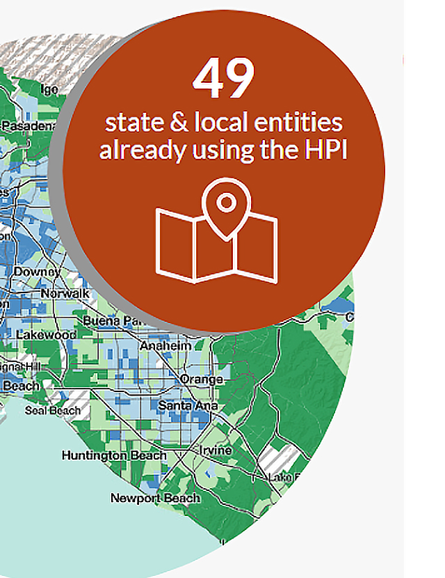
The map is based on the Alliance’s California Healthy Places Index (HPI), which has been used by more than 100 state and local governments, community groups and independent agencies since 2018 to assess local factors that predict life expectancy and compare conditions that influence health across the state. To date, more than $450 million in grant funding from the State of California uses HPI as part of the selection criteria. Data sources included in the Healthy Places Index are 1) publicly available, 2) up–to-date at a neighborhood (census tract) level 3) available statewide in California 4) actionable by policy makers and others, and 5) demonstrably linked/correlated with life expectancy.
The COVID-19 HPI Resource Map is a key tool that policy makers and others can use to develop responses to the pandemic that account for and address health inequities. The interactive map includes 48 up-to-date COVID-19 related indicators organized in six categories to help target vital services and programs to those who are most in need. The six categories of indicators are:
These indicators can be mapped alongside the California Healthy Places Index and key community conditions. More COVID-19 related indicators will be added as they become available.
The Public Health Alliance of Southern California is a coalition of the executive leadership of 8 local health departments in Southern California, based at the Public Health Institute. Collectively, our members have statutory responsibility for the health of 50% of California’s residents. The Alliance’s mission is to mobilize the power of local public health for enduring health equity, and its vision is ensuring vibrant and activated communities achieving health, justice, and opportunities for all. The Alliance does this by focusing on multi-sector policy, and systems and environmental change to improve population health and equity.
The Public Health Institute, an independent nonprofit organization, is dedicated to promoting health, well-being and quality of life for people throughout California, across the nation and around the world.

You change the world. We do the rest. Explore fiscal sponsorship at PHI.
Together, we can accelerate our response to public health’s most critical issues.
Begin your career at the Public Health Institute.